Map scale is often introduced as a calculation, but the central idea is simpler: a map is smaller than the place it represents, so the mapmaker needs a dependable way to connect map distance with real distance.
Students are more successful when they first experience scale as a relationship, then use a bar scale, and only later solve multi-step problems.
Begin with the problem a mapmaker must solve
Show students a sheet of paper and ask them to draw the classroom at full size. The impossibility creates the need for scale.
Then draw a simple classroom map in which one centimeter represents one meter. Measure a short wall or row of desks and model how the real distance becomes a smaller map distance.
Use the sentence frame:
On this map, ___ on the page represents ___ in the real place.
Students should be able to say that relationship before they calculate with it.
Build a measured classroom map
In small groups, students can measure a few straight classroom distances using meter sticks, measuring tapes, or prepared measurements. Keep the numbers friendly at first.
Choose a scale such as:
- 1 centimeter = 1 meter
- 1 grid square = 2 feet
- 1 inch = 5 feet
Students then draw walls or object locations using the chosen relationship. The goal is not architectural precision. It is noticing that every measurement must use the same scale.
Ask what would happen if one wall used 1 centimeter = 1 meter while another used 1 centimeter = 2 meters. Students quickly see why consistency matters.
Teach the bar scale as a measuring tool
A bar scale is especially useful in grades 3–5 because students can compare or repeat a visible length. Model this routine:
- Locate the two places.
- Measure the map distance with a ruler, strip of paper, or piece of string.
- Compare that distance with the scale bar.
- Count how many scale-bar lengths fit.
- State the answer with a real-world unit.
A paper strip works well for curved routes. Mark the beginning and end of the route on the strip, straighten it, and compare it with the scale.
Estimate before calculating
Before students measure, ask them to estimate:
- Is the distance less than one scale-bar length?
- Is it closer to 20 miles or 200 miles?
- Which pair of places appears farthest apart?
Estimation catches unreasonable answers. If two nearby towns are shown as 3,000 miles apart, students should know to check the measurement, operation, or unit.
Move through three levels of difficulty
Level 1: Exact repeats
The distance is exactly one, two, or three scale-bar lengths. Students focus on the relationship without difficult arithmetic.
Level 2: Partial lengths
The distance is one and a half bars or falls between two labeled points. Use halves and simple fractions before decimals.
Level 3: Conversion and comparison
Students measure several routes, compare distances, or choose a route under a given limit. These problems require the map skill and a decision.
Do not increase the arithmetic difficulty and map-reading difficulty at the same time. If the map is visually complex, keep the numbers simple.
Compare different kinds of scale
Students may see scale shown in several forms:
- Bar scale: a drawn line divided into real distances
- Statement scale: “1 inch represents 50 miles”
- Ratio scale: a ratio such as 1:100,000
For most students in grades 3–5, bar and statement scales are the most accessible. Ratio scale can be introduced as a preview, but it should not become a unit-conversion lesson before students understand what scale means.
Show two maps of the same place at different scales. Ask which map shows more detail and which covers a larger area. Students can learn that “larger-scale” maps usually show a smaller area in greater detail, even though that language may initially feel backward.
Connect scale to map purpose
Different maps need different scales. A school map may show individual rooms. A state map cannot show every classroom. A world map must simplify even more.
Ask students:
- Which scale would be useful for planning a walk across a park?
- Which scale would be useful for comparing distances between cities?
- Why would a neighborhood map need more detail than a continent map?
This helps students see scale as a design choice, not just a math exercise.
Address common errors
Measuring from page edge to page edge
Students should measure between the actual location markers, not between labels, borders, or nearby icons.
Forgetting the unit
“12” is incomplete. Require students to write 12 miles, 12 kilometers, or another stated unit.
Multiplying or dividing in the wrong direction
Return to the sentence frame. If one centimeter represents ten miles, a three-centimeter route must represent more than ten miles, not less.
Using a stretched digital map
If a map image is resized without its scale bar, the scale may no longer be accurate. Keep the scale attached to the map and resize them together.
Assess with a route-planning problem
Give students a map with three possible routes to a destination. Ask them to measure each route, choose one that meets a condition, and justify the choice.
For example:
Choose a route shorter than 40 miles that passes a park. Show how you used the scale.
This checks measurement, interpretation, and explanation in one task.
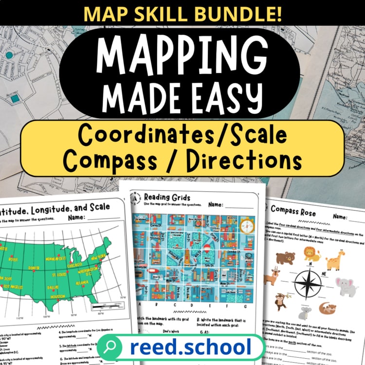
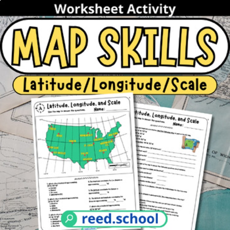
The Latitude, Longitude & Map Scale activity provides focused practice with real map-reading decisions. For a broader sequence that includes direction, coordinates, legends, and scale, use the Mapping Made Easy collection.