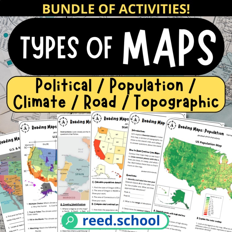
 MAP LAB FAVORITE
Grades 4–10 · Bundle
Types of Maps
Students learn to recognize, read, and compare five common map types.
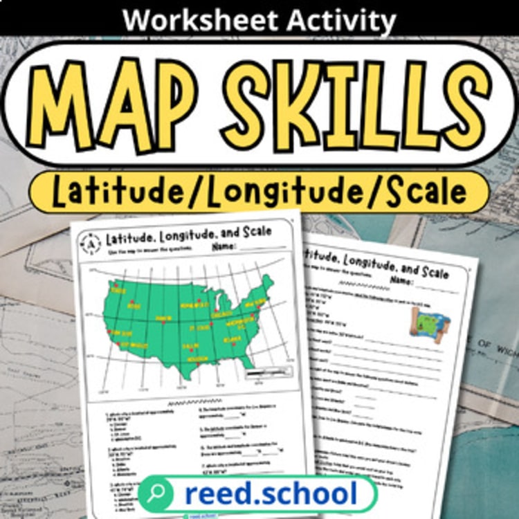 Worksheet
Geography & Map Skills
Students locate U.S. cities and calculate distance using latitude, longitude, and map scale.
Rating verified 2026-07-27. Purchase, download, and updates are handled by TPT.
Why it works
A scaffolded map-skills activity built around a clear U.S. map, with enough question variety for guided practice, pairs, or independent review.
Inside the file
Classroom uses
Keep the momentum
Students practice the core map-reading skills they need to navigate maps independently.
Keep planning
MAP LAB FAVORITEStudents learn to recognize, read, and compare five common map types.
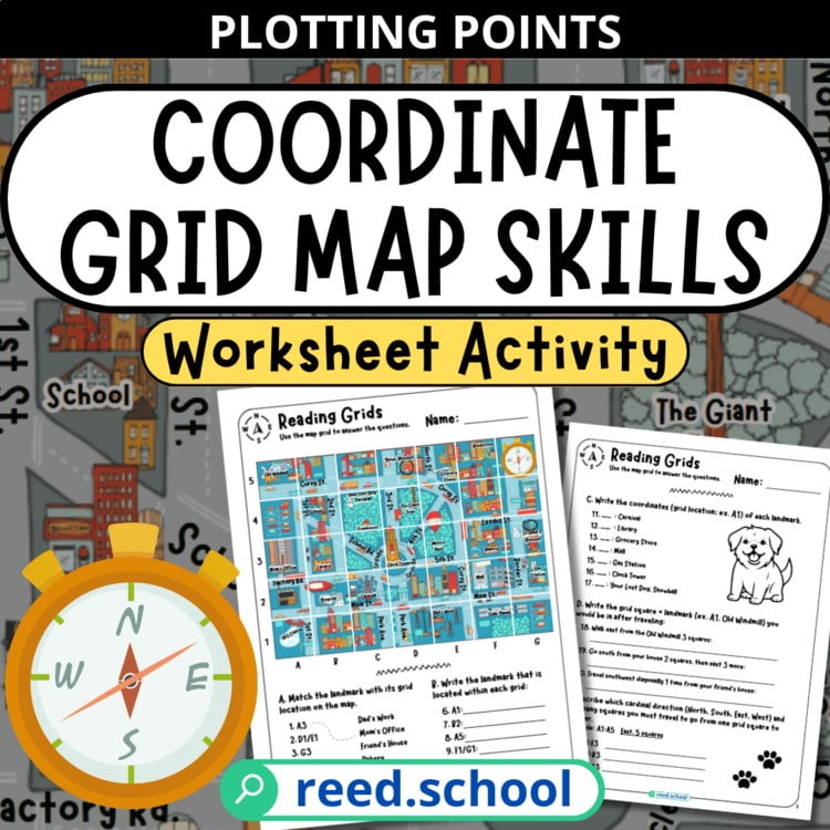 TEACHER FAVORITE
Students build confidence reading, plotting, and navigating an alphanumeric coordinate grid.
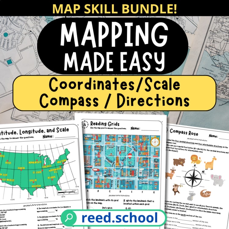 COMPLETE BUNDLE
Students practice the core map-reading skills they need to navigate maps independently.