Review the hierarchy.
Review the hierarchy: world → continent → country → landmark.
World Geography · Grades 4–7 · 5–8 minutes
See the landmark. Find its place.
Match memorable landmarks with their continental regions and countries, then locate them on a world map.
Open the postcard deskChoose a postcard route
Study a real landmark photograph, read the geographic clue, and place its postcard on the map. No timer. No points. Just careful noticing.
Practice postcard · not scored
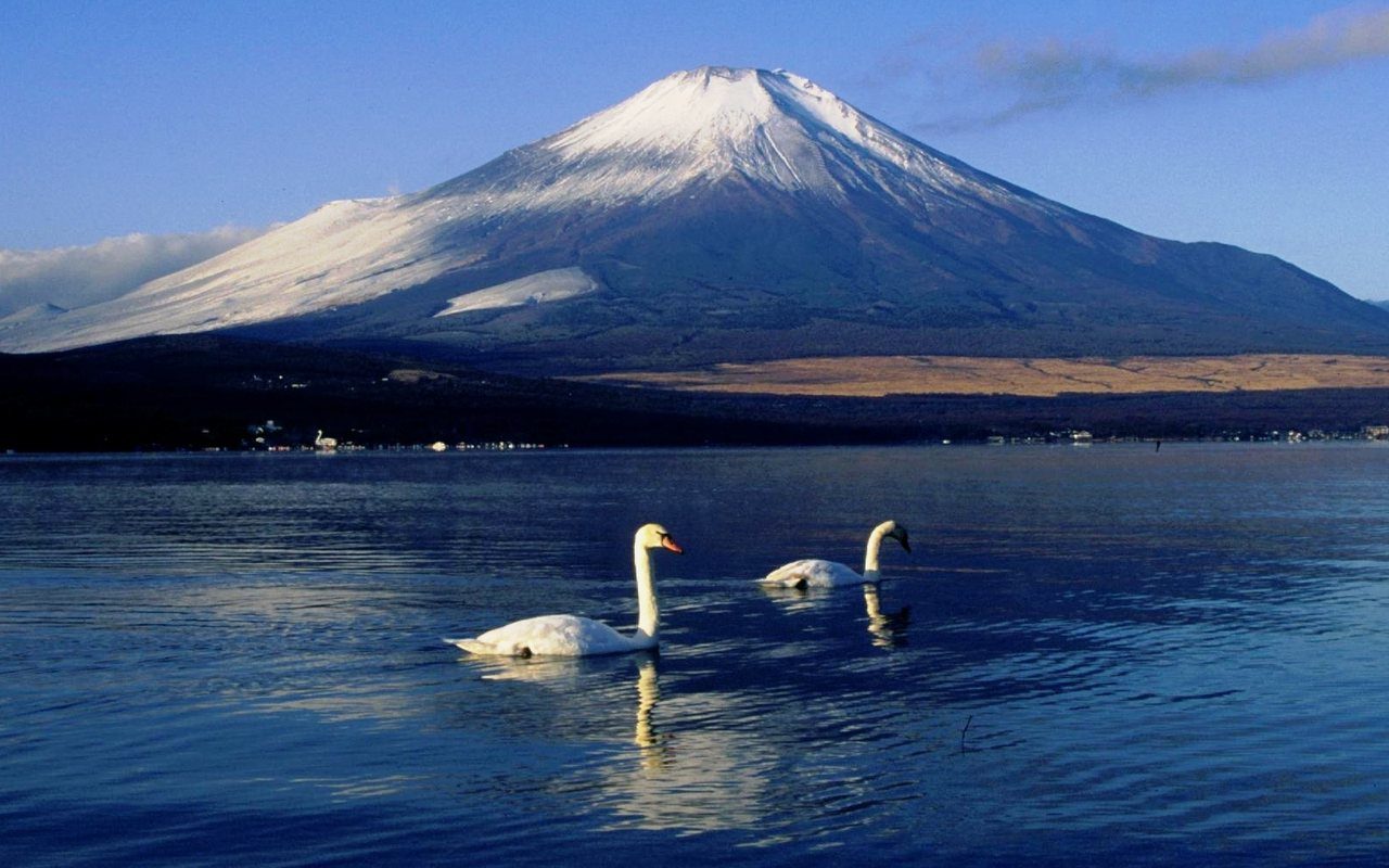
A nearly symmetrical volcanic mountain rises above a large island.
Choose one of the six inhabited continental regions.
Continent check
Select one answer. You can use a clue before choosing.
Passport stamped
One place, not the whole place. This landmark is one location within a much larger and more diverse country.
A continent contains many countries. A country contains many places. One landmark is a memorable clue, but it does not represent everyone or everything in that country.
WORLD → CONTINENT → COUNTRY → LANDMARKRoute complete
Rule recap: A continent contains many countries. A landmark is one place within a much larger region.
Planning desk notes
Postcard Pinpoint uses openly reusable landmark photographs to help students connect memorable places with continents, countries, and approximate world-map locations.
Review the hierarchy: world → continent → country → landmark.
Ask students to explain what map evidence supports their continent, country, or pin choice.
Have students choose one country from the session and locate a second place that contrasts with the featured landmark. This prevents one famous image from becoming the student’s entire picture of the country.
The game uses six inhabited continental regions: Africa, Asia, Europe, North America, South America, and Oceania. Antarctica remains visible on the map but is not used in country-matching cases because it has no sovereign countries.
This game uses Oceania as the broader region containing Australia, New Zealand, and many Pacific islands. Some curricula use Australia as the continent label. A landmark is one geographic clue, not a complete representation of a country or culture.
Every photograph is stored locally and used under a verified public-domain or open license. Full photographer credits and licenses are available on the Photo Credits page.
Landmark facts were checked against the institutional sources below. The world map uses Natural Earth 1:110m land and Admin 0 countries, version 5.1.1, in an Equal Earth projection. Natural Earth data is public domain.
Printable geography resources
 WORLD TOUR
Students investigate the geography and culture of every inhabited continent through active research.
 MAP LAB FAVORITE
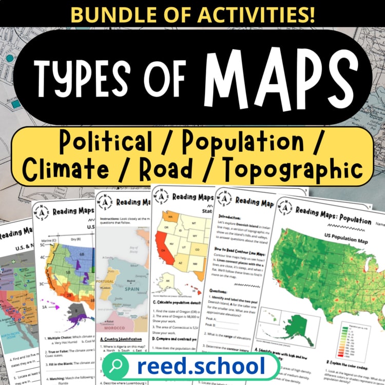
Students learn to recognize, read, and compare five common map types.