Reed.SchoolPractice Lab

Geography · Grades 4–7 · 5–8 minutes

Map Type Match

Same place. Different map. Choose the right view.

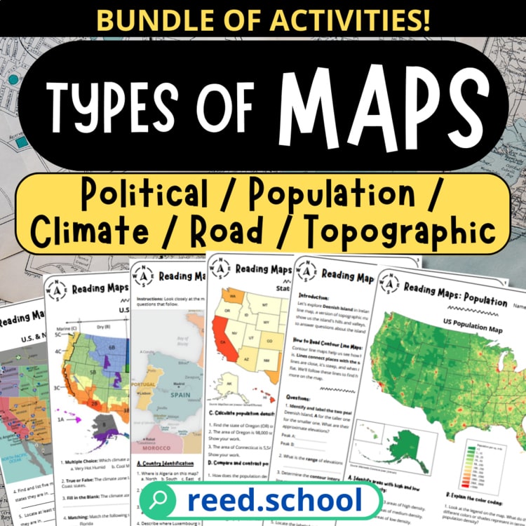
Compare six views of fictional regions, choose the map designed for each question, and use titles and legends to read the details.

Open the atlas desk
Title first.Legend second.Question third.
PRACTICE LAB ATLAS DESK 06UNTIMED · RESETS ON REFRESH

Choose an atlas assignment

Ready to compare the views?

Every map has a purpose. Choose how you want to practice, then use the title, legend, and question to match each view.

Choose a Map Type Match mode

Planning desk notes

For teachers

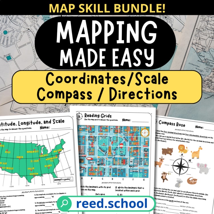
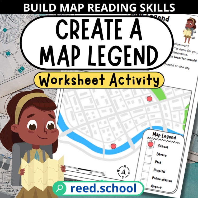
Map Type Match shows six different views of the same fictional regions. Students identify map types, choose the most useful map for a question, and interpret titles, legends, patterns, routes, boundaries, natural features, and contour lines.

Recommended grades
4–7
Skill
Choosing and interpreting common map types
Session length
5–8 minutes
Format
Individual, partner, station, or projector
Preparation
None
Account required
No
Before play

Teach the routine.

Teach the routine: title first, legend second, question third.

During play

Ask what the map emphasizes.

Ask, “What information does this map emphasize, and what information would require a different map?”

After play

Map one place two ways.

Have students draw two maps of the same classroom, school, or imaginary town for different purposes. For example, one map might show room boundaries while another shows walking routes.

Accuracy note

The regions and map data in the game are fictional. They are designed to teach map-reading conventions and should not be used for real navigation, climate, population, or political information.

Map-content sources and instructional notes

Map conventions were checked against institutional sources. Every region, place, route, climate zone, population-density category, and elevation value in scored play is fictional.

  • Maps From the World Digital LibraryLibrary of Congress Source
  • MapNational Geographic Society Source
  • Waldseemuller's Map: World 1507Library of Congress Source
  • Mapping LandformsNational Geographic Society Source
  • What's the Difference Between Weather and Climate?NOAA National Centers for Environmental Information Source
  • Geography Program GlossaryU.S. Census Bureau Source
  • What is a topographic map?U.S. Geological Survey Source
  • Example of School Route Plan MapFederal Highway Administration Source

Printable map resources

Continue the map practice away from the screen.