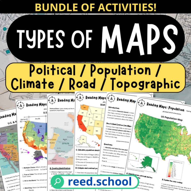
Types of Maps
Students learn to recognize, read, and compare five common map types.
The resource index
Hands-on geography resources for coordinates, latitude and longitude, compass directions, map scale, map types, time zones, and world cultures.
Geography / Map skills
Start with a question. Find the map that can answer it.
Try Map Type Match →9 resources on this shelf
Purchases & downloads on TPT ↗Students learn to recognize, read, and compare five common map types.
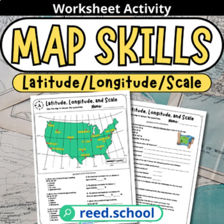
Students locate U.S. cities and calculate distance using latitude, longitude, and map scale.
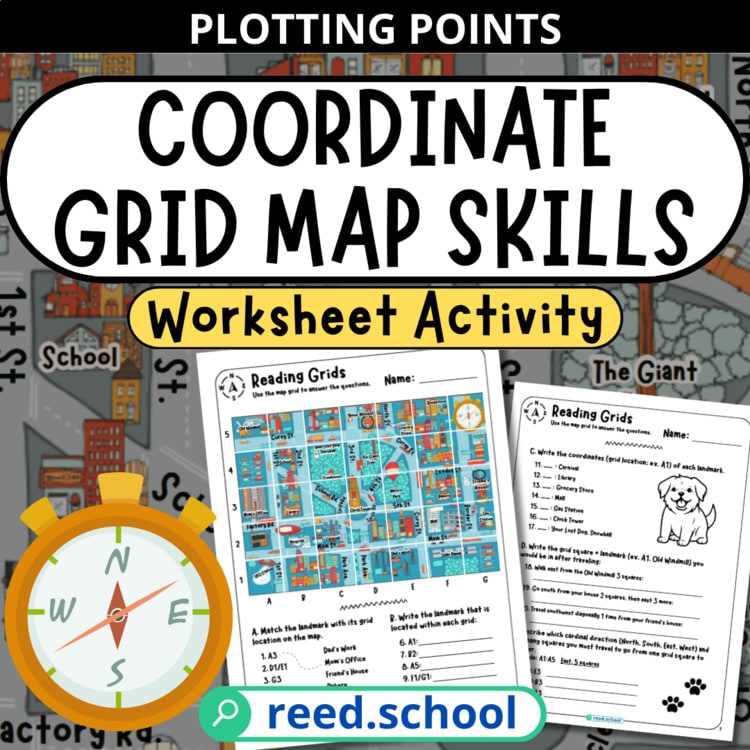
Students build confidence reading, plotting, and navigating an alphanumeric coordinate grid.
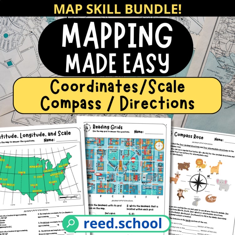
Students practice the core map-reading skills they need to navigate maps independently.
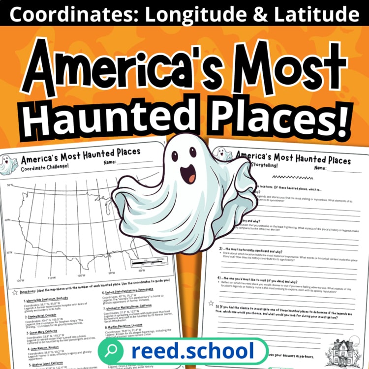
Students use coordinates and critical thinking to investigate ten eerie American locations.
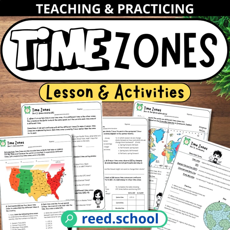
Students calculate and explain time differences across U.S. and world time zones.
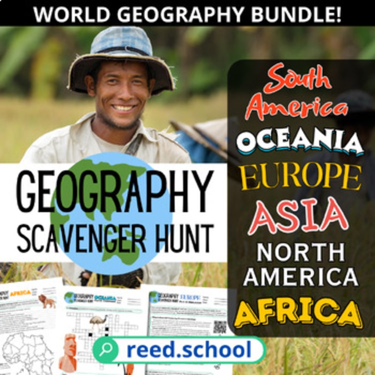
Students investigate the geography and culture of every inhabited continent through active research.
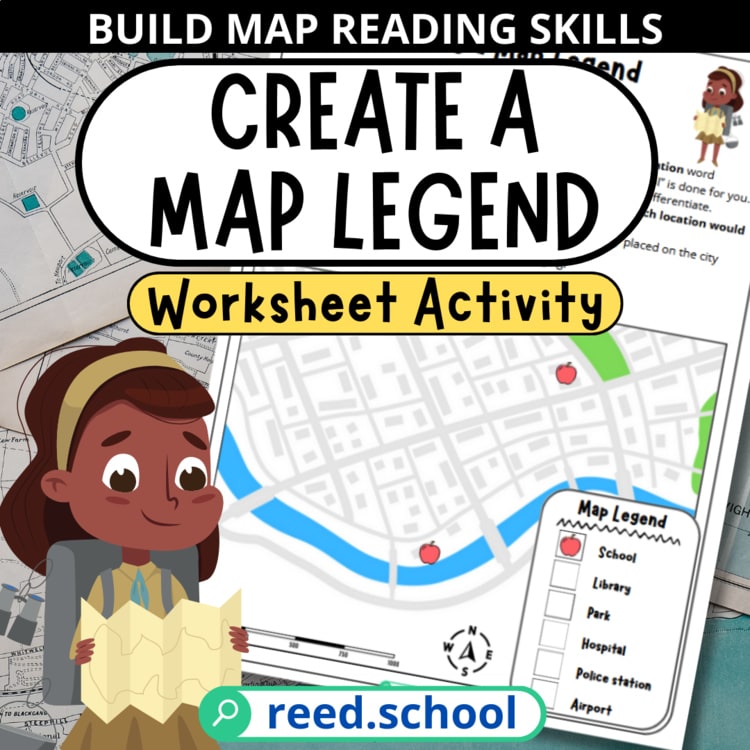
Students learn how map symbols work by inventing and applying a legend of their own.
Free resource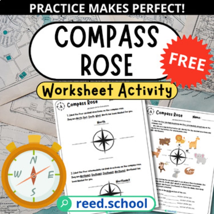 Get it free
Try a broader topic, another grade band, or clear the filters to return to this shelf.
Browse the full TPT catalog ↗Find your next lesson
Choose what matters for this class. The finder will surface three useful starting points—no account or endless catalog scrolling.
Your field notes
This is a curated selection. Visit the full Reed.School catalog on TPT ↗