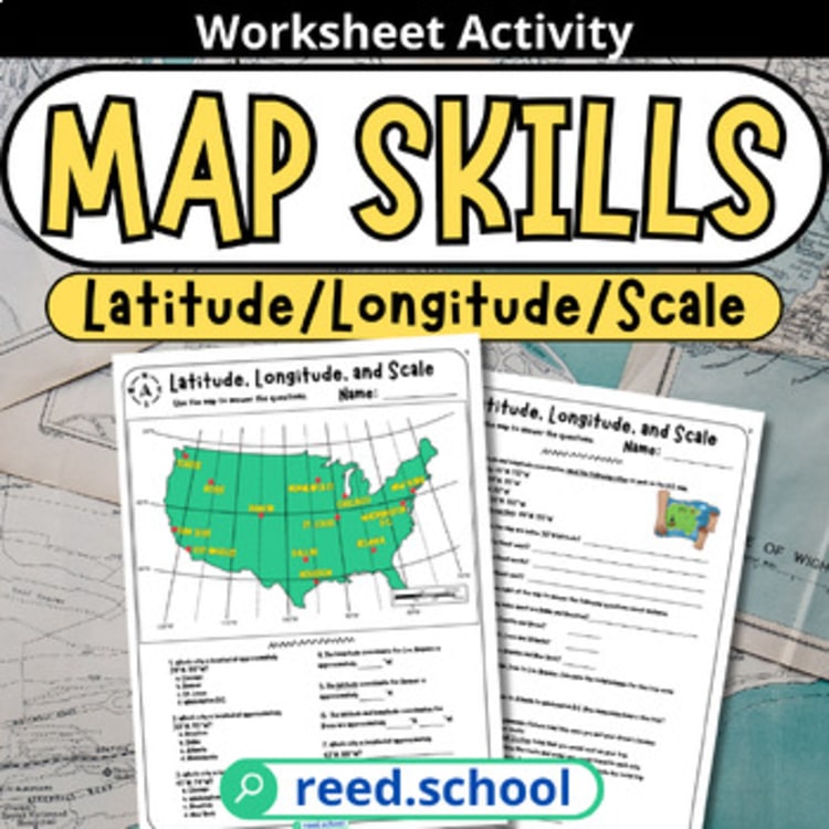
Latitude & Longitude
Students locate U.S. cities and calculate distance using latitude, longitude, and map scale.
The resource index
Low-prep bell ringers, puzzles, graphic organizers, and single-period activities that can move from download to classroom quickly.
9 resources on this shelf
Purchases & downloads on TPT ↗Students locate U.S. cities and calculate distance using latitude, longitude, and map scale.
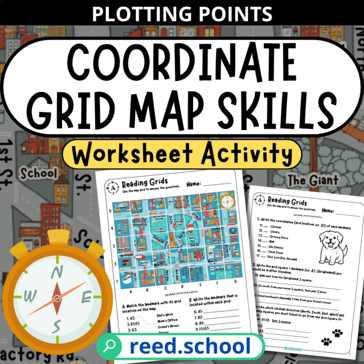
Students build confidence reading, plotting, and navigating an alphanumeric coordinate grid.
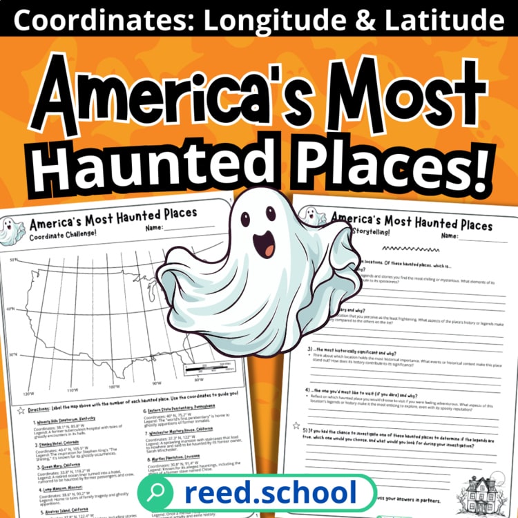
Students use coordinates and critical thinking to investigate ten eerie American locations.
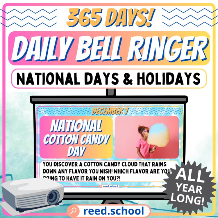
Teachers can begin every day with a fresh prompt that gets students writing and talking.
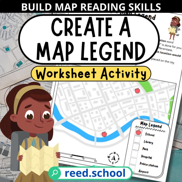
Students learn how map symbols work by inventing and applying a legend of their own.
Free resource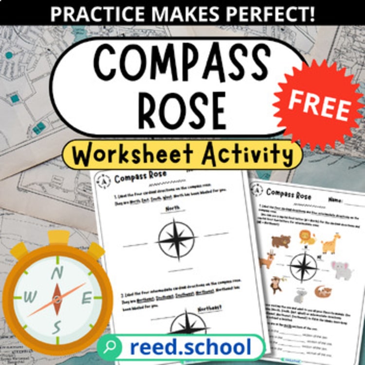 Get it free
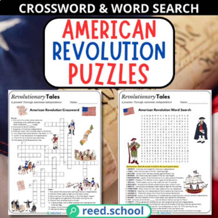
Students reinforce key American Revolution people, events, and vocabulary through two familiar puzzles.
Free resource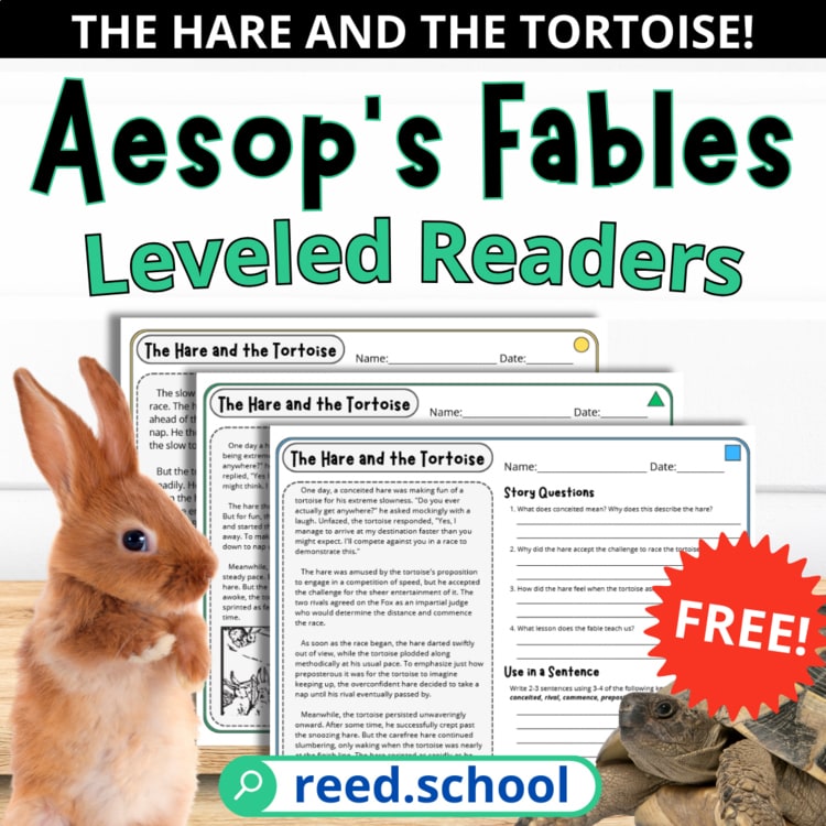
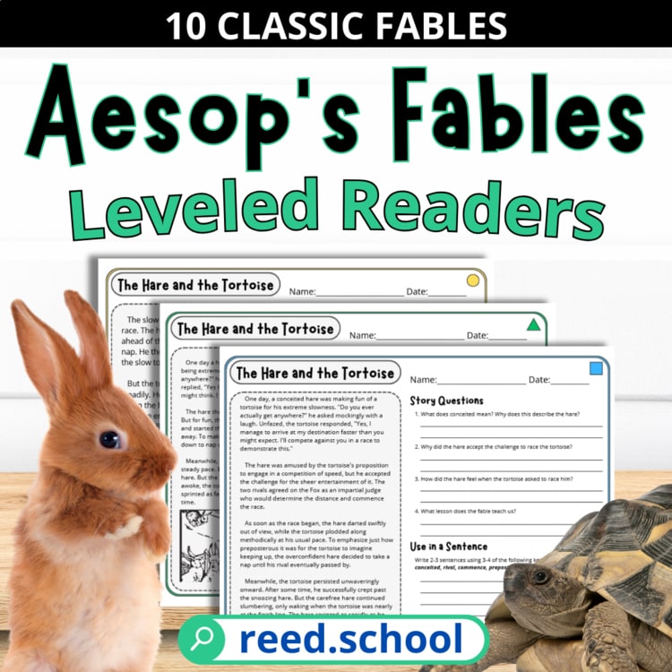
Every student can read and discuss the same fable at an appropriate level.
Free resource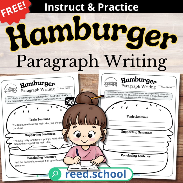
Students organize a focused paragraph with a topic sentence, supporting details, and conclusion.
Free resourceTry a broader topic, another grade band, or clear the filters to return to this shelf.
Browse the full TPT catalog ↗Find your next lesson
Choose what matters for this class. The finder will surface three useful starting points—no account or endless catalog scrolling.
Your field notes
This is a curated selection. Visit the full Reed.School catalog on TPT ↗