A coordinate grid becomes meaningful when students use it to locate something. A city block, zoo exhibit, treasure, or classroom landmark gives the letters and numbers a purpose: they help two people identify the same place without pointing.
For grades 3–5, begin with an alphanumeric map grid—letters in one direction and numbers in the other. This is related to a Cartesian coordinate plane, but it is not the same system. Keeping the two purposes clear prevents later confusion.
Build a human grid first
Create a large floor grid with tape or reusable spots. Label the columns A, B, C, and D and the rows 1, 2, 3, and 4.
Place an object or student in a square and ask the class to name the location. Then reverse the task by calling a grid reference and asking a student to move there.
Decide on one reading convention and use it consistently. Many map grids name the letter first and the number second, such as B3. Post the routine where students can see it:
- Find the lettered column.
- Find the numbered row.
- Locate the square where they meet.
If your curriculum uses a different order, teach that order explicitly and keep it consistent.
Distinguish a grid square from an intersection
This is one of the most important early decisions. Some activities identify a whole square such as C4. Others plot an exact point where two lines meet.
Show both systems side by side and ask:
- Does the reference name an area or one exact point?
- Are the labels placed between grid lines or on the lines?
- What does the example tell us?
Students should not have to guess. A well-designed activity makes the convention visible.
Use landmark searches
Give students a simple illustrated map with recognizable landmarks. Ask questions in both directions:
- What is located in D2?
- Which grid square contains the fire station?
- Name two landmarks in row 3.
- Which column contains both the park and museum?
Then add comparison questions:
- Which landmark is closest to B4?
- What is one square north of the library?
- Which two places share the same row?
The map becomes a source of information rather than a worksheet background.
Add plotting tasks
Once students can read existing locations, ask them to add new ones. They might:
- Draw a fountain in A3.
- Place a bus stop in the same row as the school.
- Add a playground one square east of the park.
- Create a mystery landmark and write its grid reference.
Plotting reveals errors that recognition questions can hide. Students must use the complete routine rather than scanning for a familiar picture.
Combine grids with directional language
Coordinate grids and compass directions reinforce each other. Ask students to write routes such as:
Start at the museum in B2. Travel one square east, two squares south, and one square west. Where do you finish?
For a more open task, students can plan a route that visits three landmarks without entering a blocked square. Require both grid references and directional words in the explanation.
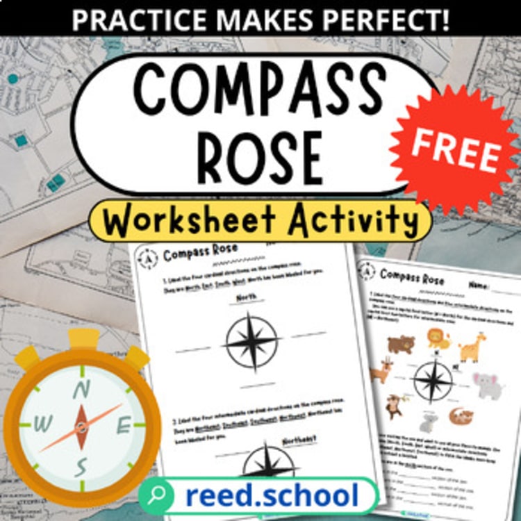
The free Compass Rose Practice can provide a short prerequisite when north, south, east, and west are not yet automatic.
Compare map grids with coordinate planes
Students may encounter ordered pairs in mathematics. Explain the connection without treating the systems as identical.
An alphanumeric map grid often names a square using a letter and a number. A coordinate plane locates an exact point using two numerical values in a defined order, usually written as an ordered pair.
A useful comparison chart can include:
| Map grid | Coordinate plane |
|---|---|
| Often letters and numbers | Usually two numbers |
| May identify a square | Identifies an exact point |
| Used for map reference | Used to represent mathematical relationships and locations |
| Convention may vary by map | Ordered-pair convention is fixed |
This comparison helps students transfer what is useful while noticing the differences.
Make mistakes visible and useful
Reversing the reference
Ask students to color the lettered direction one color and the numbered direction another. They can trace each part of the reference before finding the square.
Stopping after one coordinate
A column or row alone does not identify a unique square. Ask, “Which one?” until the student supplies both parts.
Counting lines instead of spaces
If the map identifies grid squares, have students place a finger inside the space rather than on the border line.
Ignoring the map’s own labels
Not every map begins with A or 1. Students should read the visible grid instead of assuming the pattern.
Use student-created maps as assessment
Ask students to design a small town, zoo, or imaginary island on a four-by-four or five-by-five grid. Their map should include:
- At least six landmarks
- A clear grid-label system
- A compass rose
- Three location questions
- One route problem
- An answer key
When partners solve the maps, unclear conventions become obvious. Revision then has a real purpose: another reader needs to use the system successfully.
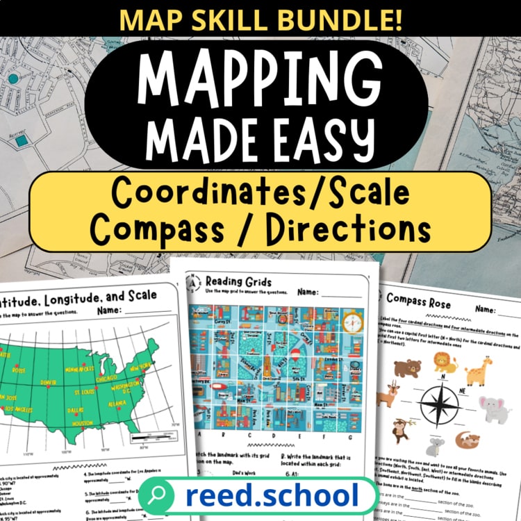
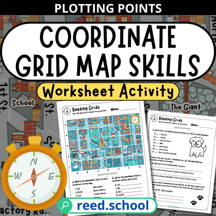
The Coordinate Grid Map Skills activity uses a detailed city map for reading, plotting, and navigation. It can stand alone or fit into the broader Mapping Made Easy collection.